Broome County’s Updated Voting Maps: What You Need to Know?
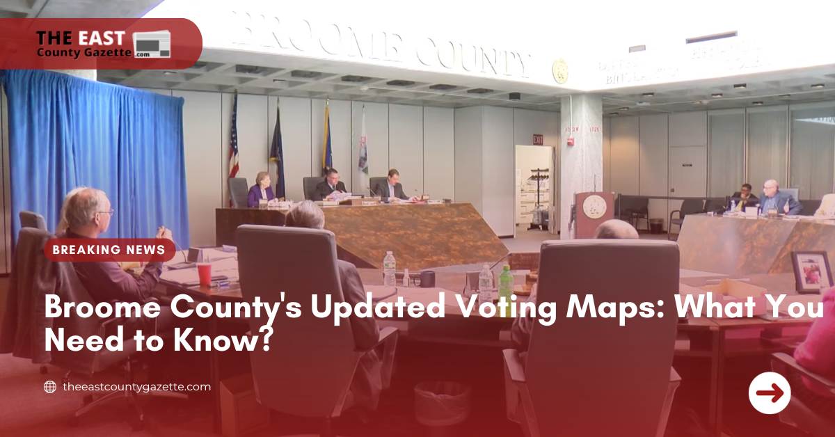
Today, the Broome County Board of Elections met to discuss and adopt new voting maps for the region’s legislative districts.
This decision came after the New York State Supreme Court Appellate Division ruled that the previous maps were invalid, necessitating modifications.
Debates Heat Up Over Quick Map Planning
Tensions were high at City Hall throughout the session, as local politicians participated in intense disputes about the newly planned maps.
A major topic of disagreement was whether these maps were prepared quickly enough to allow for thorough revision.
There were attempts to request more time for modifications, but the majority of the board members opposed these resolutions.
Opposition Voices Concerns
Robert Weslar, a prominent member of the board and the Minority Leader, voiced his opposition to the newly proposed map.
He highlighted concerns about the approved districts being notably larger and emphasized the importance of having more compact and well-defined districts.
According to Weslar, the map that was not approved did a better job of achieving these objectives.
Check out these headlines, it’s a must-read:
- Lake County Clerk Announces Compensation Hike for Poll Workers
- Northampton County Executive Announces Director’s Resignation After Election Criticism
- New Ohio Voting Laws Raise Concerns
Final Decision Leads to Map Adoption
After considerable debate, the board voted on whether to adopt the maps previously showcased in the last board meeting.
The decision to proceed with these maps received a 10-5 vote in favor. Notable alterations in the adopted maps included changes that no longer divided the town of Maine, which was an issue that initially led to the legal challenge.
The adoption of these new maps marks a significant step in reshaping the electoral boundaries within Broome County, reflecting the ongoing efforts to address legal concerns and ensure fair representation for constituents.