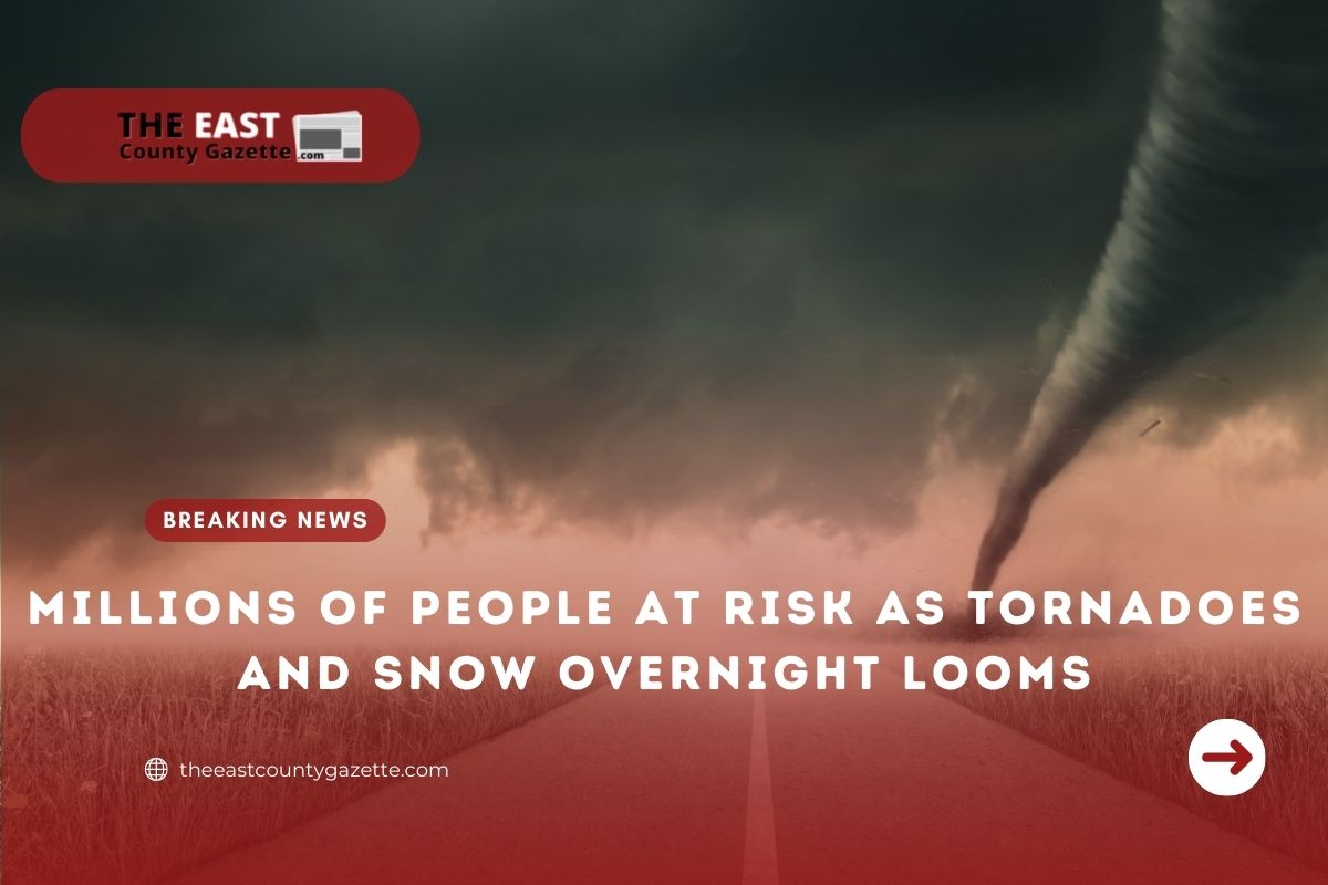
Millions of people are at risk of being affected by tornadoes and snow over the weekend.
Friday morning, the National Weather Prediction Centre said, “a major winter storm will expand across the Central Plains, Upper Midwest, and Great Lakes today and Saturday”.
They warned that two inches of snow per hour could fall, creating “near whiteout conditions and dangerous travel”.
According to the center, more than one foot of snow will fall in some areas.
CNN reported that an estimated 25 million people between Texas and Ohio could be affected by the outbreak.
On Thursday, the Storm Prediction Center reported that “severe thunderstorms Friday night into early Saturday morning” were expected to affect the region from the Mississippi River “in eastern Arkansas and northern Mississippi northward into parts of the lower Ohio Valley”.
In Memphis, Tennessee, the risk level has been classified as “enhanced”.
Nashville, Tennessee, Evansville, Indiana, and western Kentucky are also included in the risk level of three out of five.
A “slight risk” denoted by a level of two to five, applies to areas away from the Mississippi and Ohio River Valleys, including Little Rock, Arkansas, Jackson, Mississippi, Shreveport, Louisiana, and Louisville, Kentucky.
Read More: Final Stimulus Check Of 2021 Arriving Out Next Week
In these areas, the main threats are hail, strong winds, and tornadoes.
Winds of 110 to 200 mph may be experienced in the “enhanced risk” areas.
“Severe thunderstorms capable of producing several tornadoes and scattered to numerous damaging winds appear probable from mainly Friday evening into Friday night across parts of the lower [and] mid-Mississippi Valley into the lower Ohio Valley and Tennessee Valley,” the Storm Prediction Centre warned. “Some of these nocturnal tornadoes may be strong.”
In the South, such as Tennessee, Kentucky, and Arkansas, tornadoes tend to happen at night, when people are usually asleep, which makes them more dangerous.
“Tornadoes in the Southeast tend to be more dangerous than their Great Plains counterparts,” CNN quoted meteorologist Brandon Miller.
“There are a number of reasons for this, some weather and some geographic. Southeastern tornadoes often travel faster, moved by a faster jet stream.”
According to the Paducah, Kentucky-based National Weather Service, “Friday night is a time window that everyone needs to watch closely, have multiple ways to receive weather alerts, and know exactly what your plan of action is in case severe weather threatens”.
Snow, strong winds, and large hail are all possible outcomes of the winter storm moving across the central US.
Six inches of snow could fall over a large area. Northern Wisconsin, southern Minnesota, and the Upper Peninsula of Michigan may all see the fall of this size of snow.
The snow will be accompanied by strong winds, which will make travel dangerous.
It may be slippery on the roads in the Central Plains and Upper Great Lakes.
Highway 90, which is heavily traveled, could be hit the hardest.
Southern Michigan has been placed under a High Wind Watch for much of Saturday.
Read More:
As a result of the (possible) winds, “widespread power outages are possible,” according to the National Weather Service.
As a result of the strong winds, waves can reach a height of between six and thirteen feet (1.8 – 4m) in areas around Lake Michigan, including Chicago.