Flurries are predicted to be the only precipitation that falls tonight as the scattered snow showers gradually diminish. Tonight’s lows will be in the mid- to high-20s.
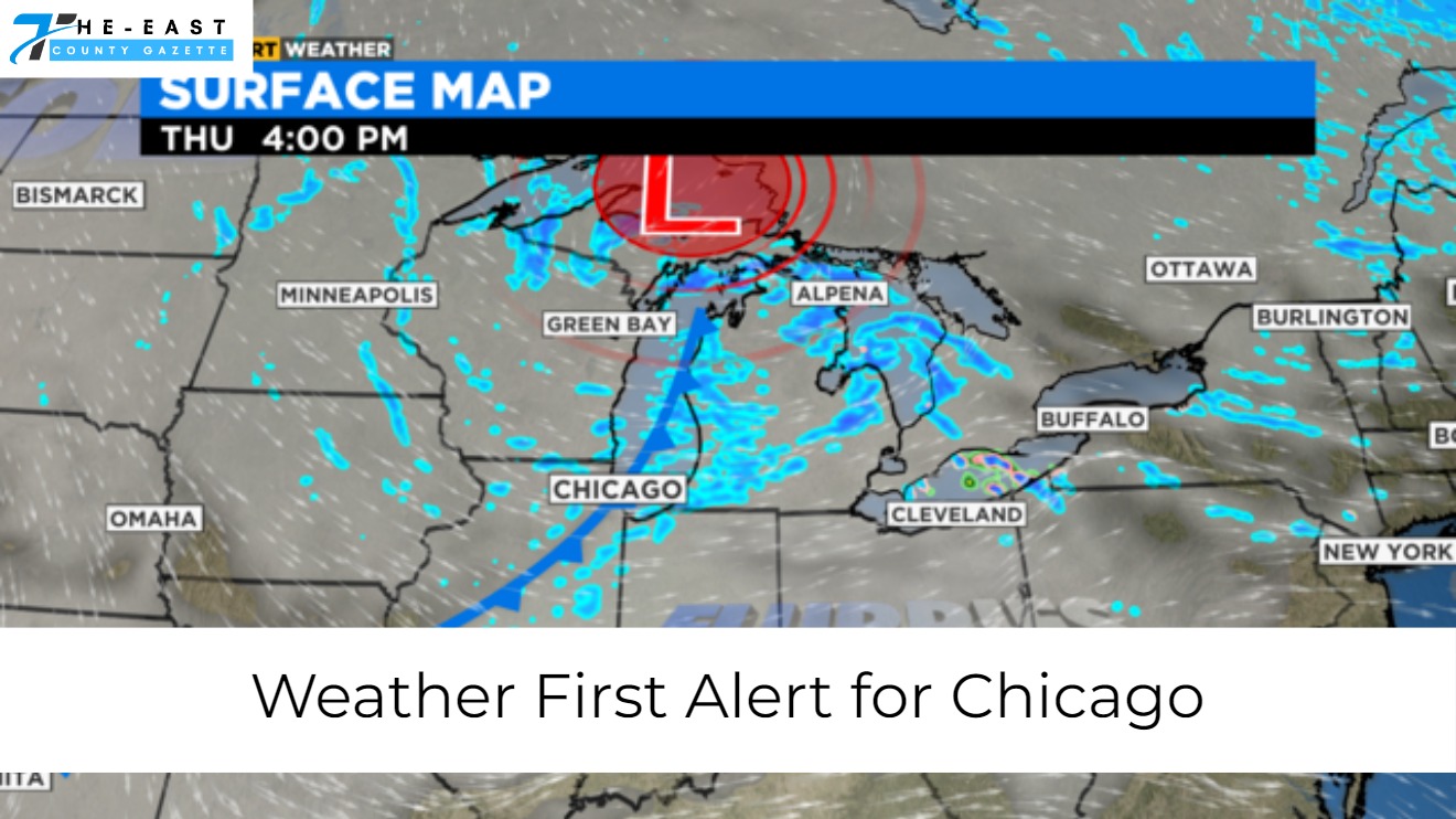
On Thursday, a cold front that will bring significantly colder weather for the next several days will pass through the region. On Thursday, highs will only reach the low 30s, and many areas outside of Chicago will remain at or below freezing.

Also read: Weird Weather Hits Chicago as Warm Thursday Shifts to Snowy Friday
There may be a few flurries here and there, but we shouldn’t see any significant accumulation.
Temperatures on Friday morning will be in the high teens and low twenties, making for a chilly start to the day. On Friday morning, wind chills will be below zero in several areas. We’ll see Friday highs in the mid-20s.
This weekend’s forecast is for highs in the mid-20s with a possibility of snow flurries on Saturday and partly cloudy conditions on Sunday.
Mornings on Sunday and Monday will be milder than the rest of the weekend, with highs in the 20s and lows in the teens. On Sunday morning, wind chills will be in the single digits in Chicago and below zero in the western suburbs.

Also read: Snow in Chicago’s Forecast
On Monday, temperatures will be in the low 40s, rising to the mid-40s on Tuesday and approaching 50 degrees on Wednesday of the following week.
It’s cloudy with a chance of snow showers tonight. Low 28°
Thursday will be cloudy with a 30% chance of light snow. cooler and windier. High 34°
On this Friday, expect a gloomy sky, wind, and cooler temperatures. High 25°