
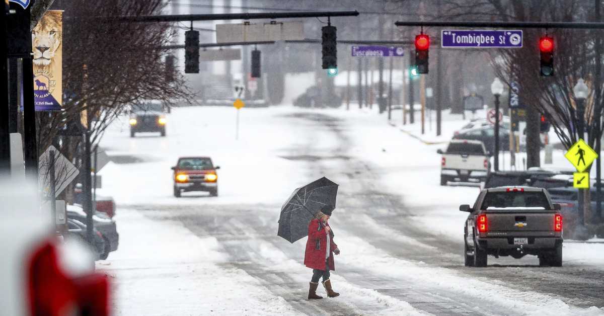
A brisk start to the week delivered unexpected snowfall to areas of the Northeast, covering landscapes in white as winter demonstrated its force once more.
Reports of up to 10 inches of snow in Brooklyn and more than half a foot in several Long Island locations had residents delighted and scrambling to clear their paths.
Calm Before the Next Storm
As the weekend comes to a close, tranquillity settles in, with sunny skies on Presidents Day and Tuesday, promising a break from the snowy weather.
Despite the sun’s brightness, temperatures remain in the mid-to upper 30s, a cold reminder of winter’s enduring hold.
Wednesday provides a brief respite, with temperatures approaching 40 degrees and skies remaining clear, evoking a transient feeling of spring’s arrival.
There are numerous posts like this one where you can receive updates and more information:
- Winter Storms Bring Dangerous Conditions Across the U.S., Leaving Many Without Water or Power
- Cook County Records Another Death Amid Harsh Winter Conditions
- Northeast Ohio Prepares for Winter Challenges: Officials Share Roadwork Plans and Safety Tips
Eyes on the Horizon
However, as the week progresses, a fresh storm approaches, causing both anticipation and fear.
Thursday hints at cloud cover, indicating the approaching storm that will make landfall on Friday.
With forecasts predicting a mix of rain, sleet, and snow, uncertainty looms over the impending storm’s exact track and impact.
As meteorologists struggle with the delicate dance of atmospheric factors, residents are urged to remain attentive and keep an eye on changing forecasts.
With the possibility of varying precipitation and temperatures, preparation and caution are essential when navigating a snowy landscape.
Amid the ebb and flow of winter’s ferocity, one thing is certain: the Northeast is bracing for another bout with nature’s whims.
Stay tuned to The East County Gazette for the most up-to-date information as the region braces for another stormy chapter in the continuing winter tale.